How To View The Bing Map In WPF Maps

bing-map
map
sfmap
view-bing-map
wpf
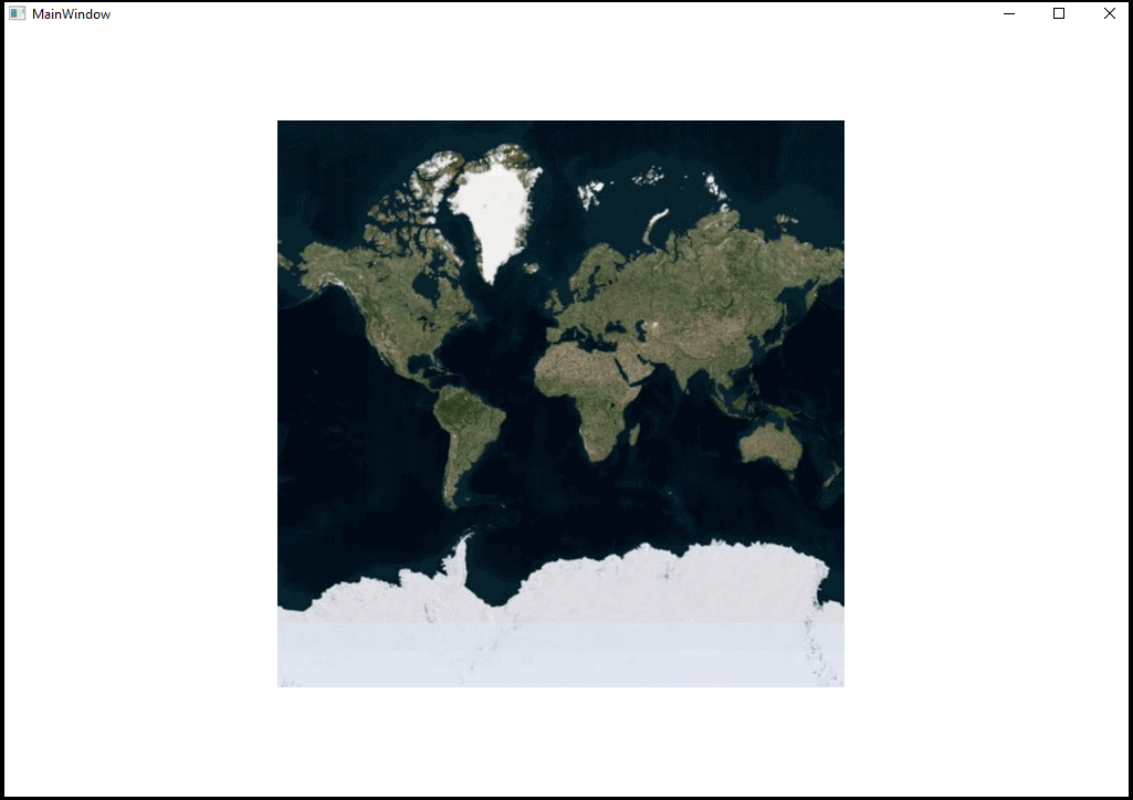
This article explains how to show the external geospatial imagery resources for deep-zoom satellite viewing (Bing Map) in Syncfusion WPF map control, as shown in the following image.

Please refer the below KB for more
How to view the Bing map in WPF maps
This can be achieved by using the LayerType property in ImageryLayer as shown in the following steps:
Step 1: To enable this feature, define Bing as LayerType.
Step 2: Provide the bing Map Key to the BingMapKey property and that key has been obtained from this link.
Step 3: Provide the desired BingMapStyle from the available three types:
- Aerial View
- Road View and
- AerialWithLabel View
Please refer the following code reference, for more details.
[XAML]
        <syncfusion:SfMap>
            <syncfusion:SfMap.Layers>
                <syncfusion:ImageryLayer LayerType="Bing" BingMapKey="Your Bing Map Key " BingMapStyle="Aerial" />
            </syncfusion:SfMap.Layers>
        </syncfusion:SfMap>
[C#]
SfMap syncMap = new SfMap();
ImageryLayer imageryLayer = new ImageryLayer()
{
LayerType = LayerType.Bing,
BingMapKey = "Your Bing Map key",
BingMapStyle = BingMapStyle.Aerial,
};
syncMap.Layers.Add(imageryLayer);
KB article - How to view the Bing map in WPF maps
See also


